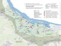
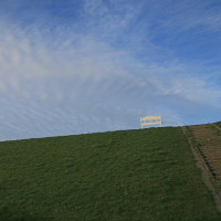
The Hollerweg in the Altes Land
The tide comes twice a day…
And the region between Stade and Hamburg in the glacial riverbed of the Elbe, which we now know as the "3 Meilen Altes Land" and "Largest closed fruit-growing area in Northern Europe", would naturally be flooded twice a day.
One causes the other and leads to today:
In the early 12th century, Dutchmen followed the call of the Archbishop of Bremen. In laborious handcraft with shovel and cart, they transformed swamp into fertile marshland. They built dykes and drainage systems and were given their own land. They brought with them the knowledge of hydraulic engineering and their Dutch law. They settled in the Sietland next to the Saxons, who live in the higher bank areas. The fear of the floods united them. “Wer nich will dieken, mut wieken” is law and where the dyke judge placed the spade into the dyke, the farm was lost...
In the Altes Land, we feel these medieval roots and the Dutch heritage every day. The Hollerweg leads us to remarkable traces of the Hollercolonisation in the Altländer cultural landscape. We call these examples "time frames". They allow a glimpse into history, bring the invisible to life and describe "the way" - i.e. the way - why the Altes Land became the way it is. All time frames stand for one of the six themes that still characterise the Altes Land today.

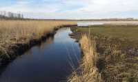
Hydraulic engineering
Dykes, polders, ditch system, Wettern, canals, locks, sluices, poldering, pumping stations

Settlement structure
Deichhufen and ribbon farms, traffic routes, yards, villages on bridges, development on the dyke

The right of the Dutch
Dyke law, rights of the youngest, women's rights, no guild obligation for craftsmen, early democratic structures

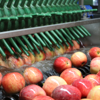
Agriculture & orcharding
Fertile marsh soils, special/mild microclimate, cultivation methods, water management, upstream and downstream specialist companies, science

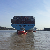
Trade & Shipping
Shipping, ports, shipyards, Altländer ship types, feeder ships, knowledge transfer through trade

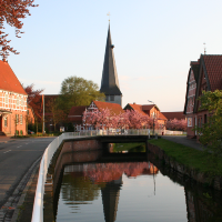
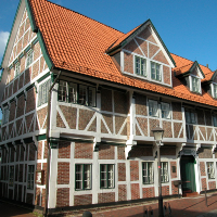
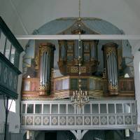
Altländer Cultural heritage
Architecture of the Fachhallenhäuser, ornamental gables, splendor gates, churches, organ culture (Arp Schnitger), traditional costumes, filigree jewelery, Altländer furniture, inventions